SOIL and territory survey with
the help of a uav for any task
the help of a uav for any task
unmanned
aerial
vehicle
Image by freepik
soil and territory survey with
the help of a UAV for any task
the help of a UAV for any task
unmanned
aerial
vehicle
Our company in the interests of solving problems on effective territory management, expanding the taxable base of the region and replenishing the regional budget, offers to perform inventory and monitoring of land in the region with the help of unmanned aerial survey complexes.
THE FOLLOWING MATERIALS WILL BE PROVIDED AS A RESULT OF WORK:
THE FOLLOWING MATERIALS WILL BE PROVIDED AS A RESULT OF WORK:
01
orthophotomap of he territory;
02
3D model of settlements in the region;
03
data on land inventory of the region;
04
geoportal of the region.

THE OBTAINED MATERIALS WILL BE THE BASIS FOR REALIZATION OF THE FOLLOWING INDUSTRY SOLUTIONS:
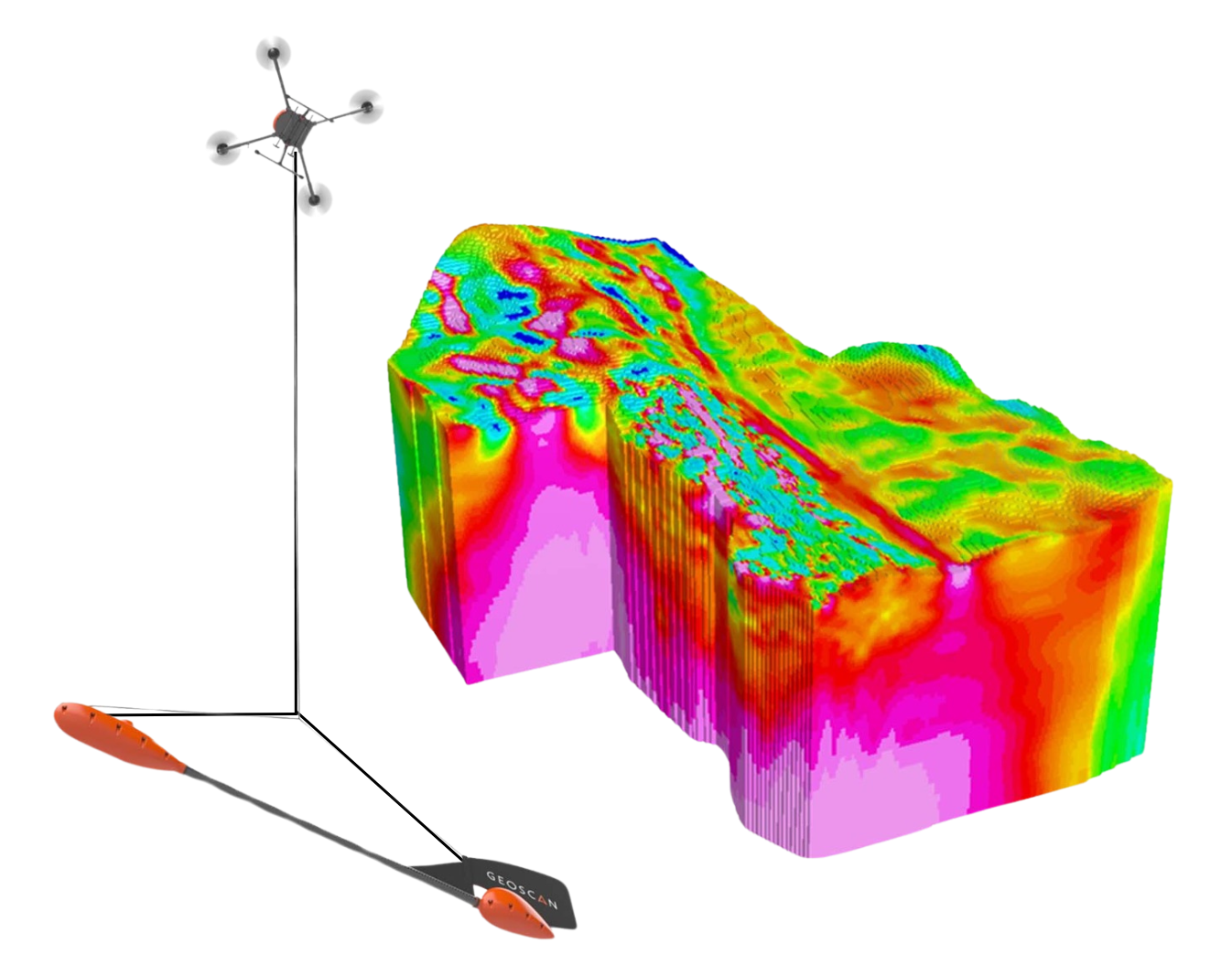
- Resource searchIt is a versatile industry integrator that performs targeted area surveys from the air, ground and underground. Conducting highly accurate and high quality surveys.
- Urban planning and land managementComprehensive cadastral works. Land supervision and tracking of violations, changes and misuse. Finding unutilized land. Digital cartography.
- Monitoring of heat losses on heat supply lines, finding breaks in heating mainsSearch and loss of heat losses in buildings and structures. Control over the expenditure of funds allocated for the repair of heating lines and thermal insulation of buildings.
- Agro-industrial complexInventory of agricultural land, creation of electronic field maps and cadastre. Monitoring of machinery, condition of crops and fields under fallow, calculation of NDVI and other indices. Support and control of agrotechnical measures.
- Environmental monitoring . Monitoring of natural objects. Monitoring of anthropogenic sites.Planning and analysis of household waste management (official landfills and unauthorized household waste dumps). Control over extraction of inert materials (crushed stone, sand), definition of extraction boundaries and volume of extracted materials. - Support in emergency situations. Prevention of emergencies. Liquidation of consequences of emergencies. Search and rescue operations.
- Mining and mineral extractionAccurate, up-to-date geometric data on the surface of an open pit, open pit, mine. Digital surface model with centimeter spatial resolution. Control over the completeness of excavation, determination of mining volumes, accounting of overburden volumes, determination of losses, drawing up mining development plans, monitoring of stable, safe condition of sidings and dumps. 3D modeling of excavations, change detection, etc.
- Survey of power lines and energy infrastructureElimination of power line emergencies (compliance with standards and specifications, prevention of emergencies) . Locating trees and bushes threatening power lines (problem of overgrowth). Finding defective and damaged insulators.
- Oil and gas sectorInfrastructure survey. Inventory and planning. Environmental monitoring. Operational control, search and coordination of leaks and illegal taps. Real-time monitoring of operating or remote facilities, pollution control and boundaries of protection zones .
- ForestryMapping and monitoring of forest fund condition Analysis, protection and planning. Operational monitoring. Search for illegal logging.
- Water managementRegular monitoring. Surveying of problem areas. Modeling of flood zones and locations. Search for shoreline changes.
- Road maintenanceAccurate and reliable data for efficient design. Engineering Surveys. Monitoring of road pavement.Monitoring of work execution.
- ConstructionPlanning and design. Quality control of the work performed. Up-to- date information at all stages of construction.
+7 999 539 99 96
Src.company@yandex.ru
Src.company@yandex.ru
Saint- Petersburg, 2024
